National Catastrophe Center: Catastrophe Planning and Response
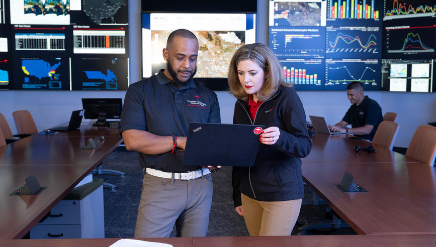
Our National Catastrophe Center is the hub of our catastrophe response planning and event response efforts. Staffed by more than 100 full-time Catastrophe Management professionals, this “command center” is equipped with state-of-the-art tools to actively monitor weather and claim trends, enabling us to quickly transform information into action.
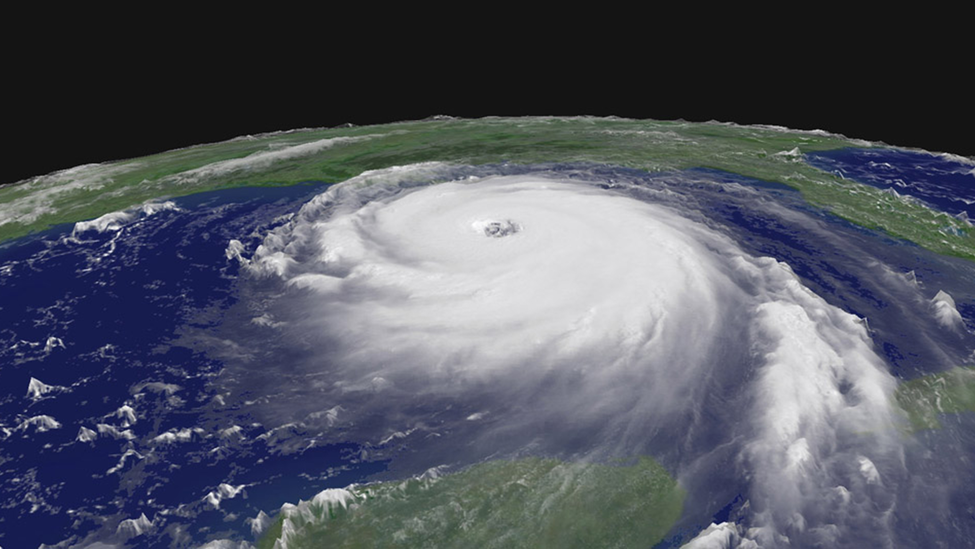
Our Catastrophe Management team continually monitors and evaluates data from numerous sources. This allows us to plan and coordinate responses in a secure environment away from the disaster area. We track storm formations to identify developing weather patterns five, 10 or even 14 days in advance, enabling us to evaluate the potential impact for customers and, where appropriate, to stage event response resources before an event. After an event, we aggregate millions of data points from weather services to create event overlays for our proprietary geospatial tools to visualize an event against our customers’ locations. This data visualization and sophisticated use of layered geospatial insights enhances our overall operational intelligence and helps us deploy Catastrophe Claim professionals to the right place at the right time.
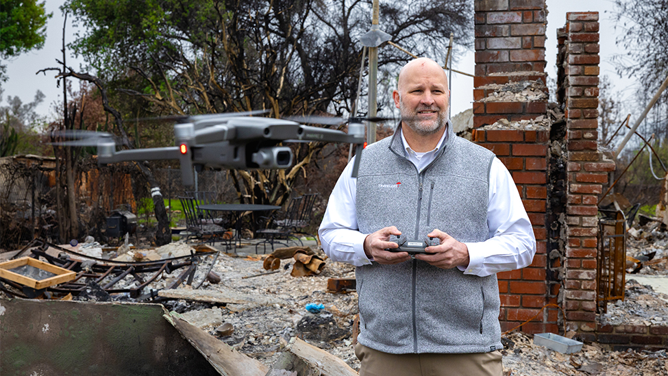
For example, we use our knowledge of the precise size of hail that impacts an area and the type of damage certain sizes of hail can cause in conjunction with our customer location data to assess the estimated severity of losses associated with hail damage. Our digital capabilities give us additional insight to help us determine the scope of an event and the best response strategy. We then layer in high-resolution aerial imagery to further assess property damage.
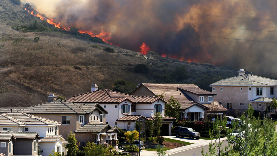
During an event with severe losses, such as a wildfire or tornado, we are often able to inform agents and customers of estimated losses before our Claim professionals are allowed into the impacted area. This also enables an earlier claim process, including advance payments, before our teams physically deploy to an area. For those customers with a significant or total loss, we can pull the pre-event aerial imagery into our estimating software and generate a fully dimensioned 3D diagram of the building to estimate the cost to rebuild.
The digital capabilities of our National Catastrophe Center, paired with the dedicated technical expertise of our catastrophe leadership team, generate an immediate understanding of the event magnitude and its estimated financial impact. This enables us to expedite claims processing, helping our agents and customers prepare for, respond to and recover from disasters more quickly and efficiently. Our commitment to a swift and effective response means that customers experience less disruption and can return to normalcy faster.
National Catastrophe Center work and technical highlights
- 20,000-square-foot National Catastrophe Center with capacity for more than 150 people.
- 1,000-square-foot Catastrophe Operations Management Room with dual camera arrays for interactive video conferencing and a 180-square-foot video wall that projects real-time data and analytics from across Travelers and third-party sources.
- Supercomputer weather model analytics.
- Real-time notice of loss and escalation data.
- Sophisticated command and control and video-conferencing capabilities.
- Simultaneous real-time key performance metrics across multiple events.
- Claim handler availability and deployment information.
- High-resolution post-event imagery and AI imagery analysis.
- Wildfire monitoring and response information.
- Social media monitoring and analytics.
- Real-time drone flight monitoring.
- Multiple television news feeds.
Click here to take a virtual tour of the Catastrophe Operations Management Room in our National Catastrophe Center.
Illustrative initiatives
Wildfire Defense Services
Protecting Our Customers from Increased Wildfire Risk
While our commitment to our customers is to make them whole after a covered loss such as a wildfire, we also help our customers avoid the loss entirely or mitigate the loss should one occur.
Disaster Response
Travelers Responds to the Palisades and Eaton Fires
In the aftermath of the Palisades and Eaton fires, we worked to support our customers, agents and employees across the Greater Los Angeles area.
IBHS Sponsorship
Supporting Research in Severe Weather Readiness and Response
Travelers has partnered with the Insurance Institute for Business & Home Safety (IBHS) for more than 20 years.